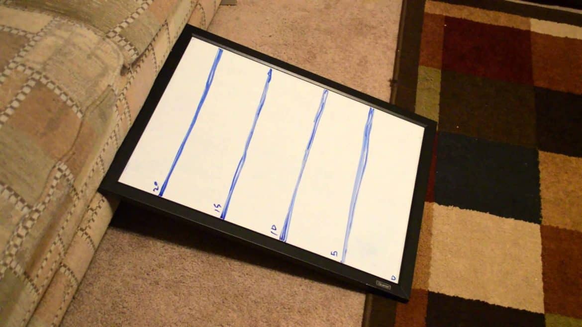
Due to my obvious lack of attention to detail I never was very good at orienteering by shooting an azimuth and counting my pace. Small errors that I normally find acceptable turn in to large errors when you are traveling great distances.
Luckily I grew up on a state park and got to use topographic maps on a daily basis and quickly learned to associate the squiggly map lines with the hills and valleys I saw in real life. I learned that I could navigate well just by being able to translate map contour lines with the terrain around me.
Translating the lines into elevations became second nature and I can visualize the elevation just by looking at the map.
As a general rule, the lines on a topographic map are tied to elevation above sea level, and somewhere on the map will be a key to tell you how many feet (or meters) the lines are.
The key to remember is the difference is not in distance, but in elevation. This means that the closer the lines are to each other the shorter the distance it is between the difference in elevation. Therefore, on an map that shows 100 meters in distance between contour lines that describe an elevation change of 10 meters will represent a gradually sloping area that rises 1 meter every 10 meters you travel. If the same map has an area where two (or more) contour lines converge it shows a cliff or steep dropoff.
Watch the video on contour lines for a better explanation.
